Precise Boundary Title
Re-Establishment Survey

A title re-establishment survey defines property boundaries and the positions of other features after changes resulting from erosion, other natural events, construction, altered legal requirements, or property line disputes.
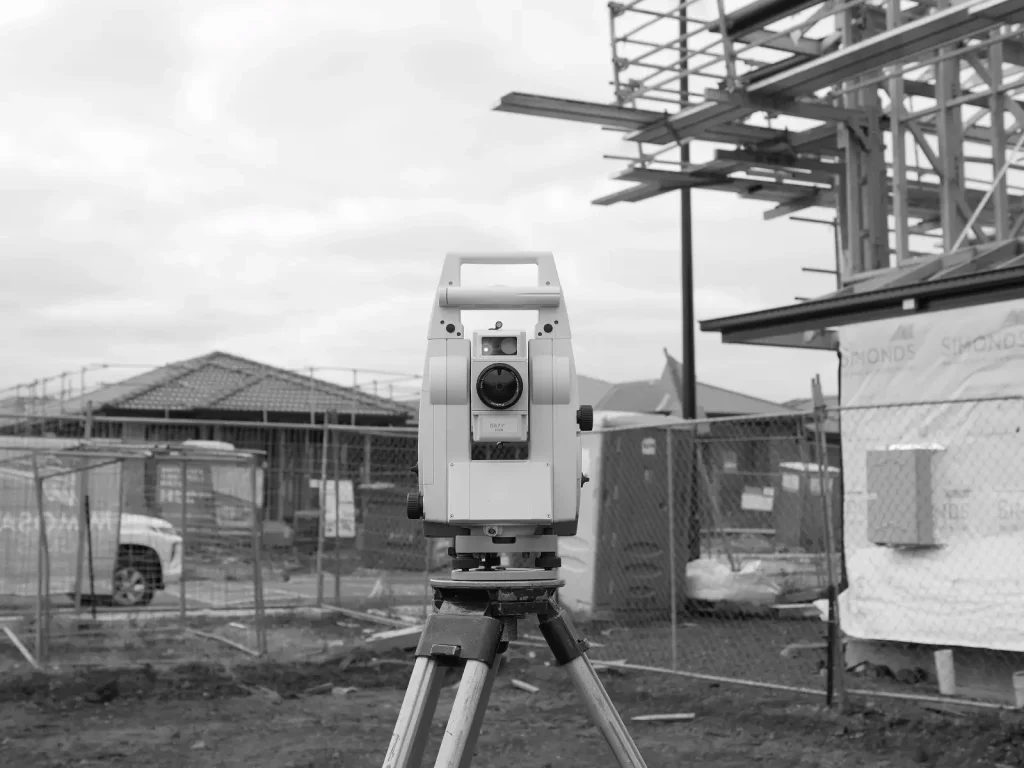
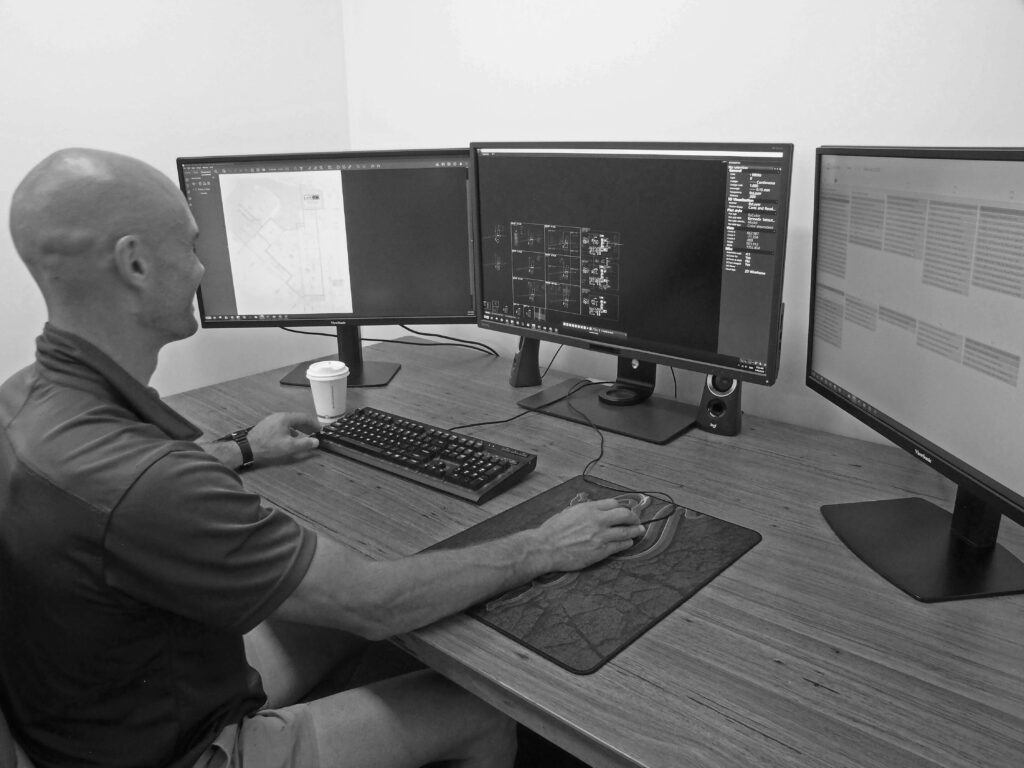
Professional surveyors use specialist equipment to take precise measurements. These include surveying software, GPS receivers, and total stations. The process incorporates comprehensive research, fieldwork, analysis, and reporting. Legal documentation supports developers, landowners, and authorities in making data-driven property use decisions.
Rely on Landset for a Thorough Re-Establishment Survey
We accurately verify property boundaries through legal documentation as part of our title re-establishment survey service. Our experienced surveyors conduct systematic research, use advanced techniques and equipment, and physically measure and mark boundary lines on the ground. We provide confidence in property ownership and compliance with legal requirements by clarifying and resolving boundary-related issues.


